Wamura
Appearance
Wamura
| |
|---|---|
Town | |
| Coordinates: 6°45′59″N 37°22′16″E / 6.76639°N 37.37111°E | |
| Country | |
| Region | |
| Zone | Wolaita |
| Area | |
| • Urban | 7.5 km2 (2.9 sq mi) |
| Elevation | 1,846 m (6,056.43 ft) |
| Time zone | UTC+3 (EAT) |
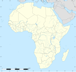
Wamura (Geʽez: ዋሙራ, Wolayttatto Doonaa: Waamura) is a town in Wolayita Zone of the South Ethiopia Region of Ethiopia. Within Wolaita Zone. Wamura is found in Kawo Koysha woreda.[1] The town is one of municipal administrations in Kawo Koysha woreda. The town has different infrastructures and governmental service centers such as electricity, pure public water, primary and high schools, postal service, telecommunications services, health care institutions and others. Wamura is located in the West of Wolaita Sodo via Sodo-Beklo Segno-Lasho road on the way to Halale.[2]
References
- ^ "Wamura Wolaita". elevationmap.net. Retrieved 24 August 2023.
- ^ "Wamura municipality". www.snnprswolaitazone.gov.et.


