Achalm (Mountain)
Appearance
You can help expand this article with text translated from the corresponding article in German. (June 2010) Click [show] for important translation instructions.
|
| Achalm | |
|---|---|
 View of the mountain Achalm from above Pfullingen | |
| Highest point | |
| Elevation | 707 m (2,320 ft) |
| Coordinates | 48°30′N 9°15′E / 48.500°N 9.250°E |
| Geography | |
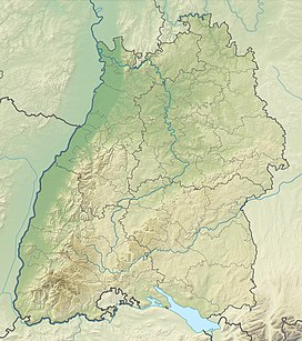
Achalm is a mountain in Reutlingen, Germany. On its top, the ruins of Achalm Castle can be found, ancestral seat of the counts of Achalm, a 13th-century Swabian noble family related to the counts of Urach.
The toponym is probably from the Indo-European root *ak-/*ok „sharp, cliff“.[1] A popular etymology connects it to the supposed last words of count Egino, which is attributed to the balladist Ludwig Uhland in his "Schlacht bei Reutlingen". It is said he wanted to say "Ach Allmächtiger!" (German for "O Almighty!"), but was only able to say "Ach Allm...".[2]
References
[edit]- ^ Lutz Reichardt: Ortsnamenbuch des Kreises Reutlingen (= Veröffentlichungen der Kommission für geschichtliche Landeskunde in Baden-Württemberg. Band 102). Kohlhammer, Stuttgart 1983, pp. 9–11.
- ^ "Stadt Reutlingen | Achalm" (in German). 18 July 2012. Archived from the original on 2012-07-18. Retrieved 3 August 2023.

