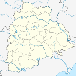
Neradigonda mandal
Appearance
Neradigonda
నేరడిగొండ నీరూరేటికుండ | |
|---|---|
Mandal | |
| Coordinates: 19°18′00″N 78°24′00″E / 19.3000°N 78.4000°E | |
| Country | |
| State | Telangana |
| District | Adilabad |
| Elevation | 422 m (1,385 ft) |
| Languages | |
| • Official | Telugu |
| Time zone | UTC+5:30 (IST) |
| Vehicle registration | TS-01 |
| Website | telangana |
Neradigonda or Neredikonda is a Mandal in Adilabad district in the state of Telangana in India.[1]
Demographics
[edit]According to Indian census, 2001, the demographic details of Neradigonda manal is as follows:[2]
- Total Population: 24,632 in 4,890 Households.
- Male Population: 12,396 and Female Population: 12,236
- Children Under 6-years of age: 4,387 (Boys - 2,231 and Girls - 2,156)
- Total Literates: 10,313
Features
[edit]The villages in Neradigonda mandal includes: Bondidi, Boregaom, Buggaram, Koratkal, Kumari, Neradigonda, Rajura, Rolmamda, Tarnam, Tejapur, Venkatapur, Waddur, Wagdhari and Wankidi
References
[edit]- ^ "Mandals in Adilabad district". Panchayat Informatics Division. Archived from the original on 27 March 2007. Retrieved 28 February 2007.
- ^ Neradigonda mandal at Our Village India.org


