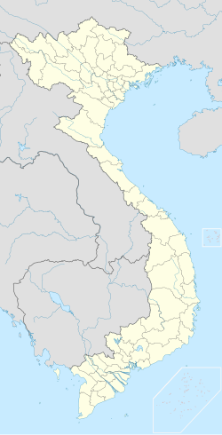
Hồng Bàng district
Appearance
You can help expand this article with text translated from the corresponding article in Vietnamese. Click [show] for important translation instructions.
|
Hồng Bàng district
Quận Hồng Bàng | |
|---|---|
 | |
| Coordinates: 20°51′43″N 106°39′44″E / 20.861982°N 106.662172°E | |
| Country | |
| Municipality | Haiphong |
| Regions | Red River Delta |
| Founded | 1961 |
| Subdivision | 9 wards |
| Government | |
| • Chairman of the People's Committee | Phạm Văn Đoan |
| • Chairman of the People's Council | Đỗ Việt Hưng |
| • Secretary | Lê Ngọc Trữ |
| Area | |
• Total | 14.5 km2 (5.6 sq mi) |
| Population (2019) | |
• Total | 96,111 |
| • Density | 6,600/km2 (17,000/sq mi) |
| Website | hongbang |
Hồng Bàng (Template:Lang-vi) is a district (quận) of Haiphong, the third-largest city of Vietnam. The Hai Phong City Committee, the local administrative office, is located on Hoàng Diệu street, in the east of the district.
History
This section is empty. You can help by adding to it. (November 2013) |
Administrative divisions
Hồng Bàng district is subdivided into 9 wards: Hạ Lý, Hoàng Văn Thụ, Hùng Vương, Minh Khai, Phan Bội Châu, Quán Toan, Sở Dầu, Thượng Lý, Trại Chuối.[1]
References
External links
- ^ "Địa giới hành chính quận Hồng Bàng". Cổng thông tin điện tử Chính phủ.
{{cite web}}: CS1 maint: url-status (link)


