Thắng
Appearance
Thắng | |
|---|---|
 | |
| Coordinates: 21°21′20″N 105°58′39″E / 21.35556°N 105.97750°E | |
| Country | |
| Province | Bắc Giang Province |
| District | Hiệp Hòa |
| Established | 1945 |
| Area | |
• Total | 0.48 sq mi (1.24 km2) |
| Population (2010) | |
• Total | 5,000 |
| • Density | 10,440/sq mi (4,032/km2) |
| Time zone | UTC+07:00 |
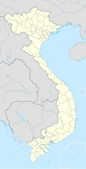
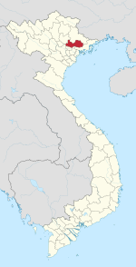
Thắng is a township (Thị trấn) and town and capital of Hiệp Hòa District, Bắc Giang Province, in north-eastern Vietnam.[1]
References
[edit]


