Jump to content

Zamora Municipality, Falcón

Coordinates: 11°20′56″N 69°19′40″W / 11.3489°N 69.3278°W / 11.3489; -69.3278
From Wikipedia, the free encyclopedia

This is the current revision of this page, as edited by LaloLanda28 (talk | contribs) at 00:03, 7 June 2024. The present address (URL) is a permanent link to this version.

(diff) ← Previous revision | Latest revision (diff) | Newer revision → (diff)
Zamora Municipality
Municipio Zamora
Flag of Zamora Municipality
Official seal of Zamora Municipality
Location in Miranda
Location in Miranda
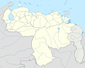
Map showing the location of Zamora Municipality within Venezuela
Zamora Municipality
Location in Venezuela
Coordinates: 11°20′56″N 69°19′40″W / 11.3489°N 69.3278°W / 11.3489; -69.3278
Country Venezuela
StateMiranda
Municipal seatPuerto Cumarebo
Area
 • Total
721.8 km2 (278.7 sq mi)
Time zoneUTC−4 (VET)
WebsiteOfficial website

Zamora is a municipality in Falcón State, Venezuela.

Name

[edit]

The municipality is one of several named "Zamora Municipality" for the 19th century Venezuelan soldier Ezequiel Zamora.