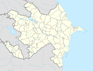
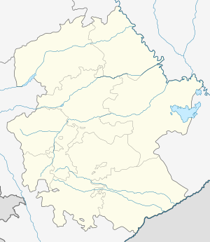
Çıraqlı, Agdam
Appearance
Çıraqlı | |
|---|---|
Municipality | |
| Coordinates: 40°07′29.1″N 47°01′34″E / 40.124750°N 47.02611°E | |
| Country | |
| Rayon | Agdam |
| Population | |
• Total | 2,207 |
| Time zone | UTC+4 (AZT) |
| • Summer (DST) | UTC+5 (AZT) |
Çıraqlı (Chiragly) is a village in the municipality of Qərvənd in the Agdam District of Azerbaijan, which was ruined during the First Nagorno-Karabakh War.[1] The village was located on the Nagorno-Karabakh Line of Contact until the 2020 Nagorno-Karabakh war, during which it was frequently hit by missiles by the Armenian Army.[2]
References
[edit]- ^ "Belediyye Informasiya Sistemi" (in Azerbaijani). Archived from the original on September 24, 2008.
- ^ Carlotta Gall (4 December 2020). "What Can I Feel? The Most Important Is That We Are Alive". The New York Times. Retrieved 5 December 2020.


