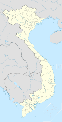
Hoài Ân district
Appearance
You can help expand this article with text translated from the corresponding article in Vietnamese. (March 2009) Click [show] for important translation instructions.
|
Hoài Ân district
Huyện Hoài Ân | |
|---|---|
 | |
| Coordinates: 14°20′N 108°54′E / 14.333°N 108.900°E | |
| Country | |
| Region | South Central Coast |
| Province | Bình Định |
| Capital | Tăng Bạt Hổ |
| Area | |
• Total | 750 km2 (290 sq mi) |
| Population (2023)[1] | |
• Total | 177,770 |
| • Density | 240/km2 (610/sq mi) |
| Time zone | UTC+7 (Indochina Time) |
Hoài Ân is a district (huyện) of Bình Định province in the South Central Coast region of Vietnam. The district capital is at Tăng Bạt Hổ.[2]
References
[edit]- ^ Bình Định Statistics Office (2010): Bình Định Statistical Yearbook 2009. Statistical Publishing House, Hanoi
- ^ "Districts of Vietnam". Statoids. Retrieved March 13, 2009.


