Paama Airport
Appearance
Paama Airport | |||||||||||
|---|---|---|---|---|---|---|---|---|---|---|---|
| Summary | |||||||||||
| Airport type | Public | ||||||||||
| Serves | Paama, Malampa Province, Vanuatu | ||||||||||
| Elevation AMSL | 2 m / 7 ft | ||||||||||
| Coordinates | 16°25′55″S 168°14′08″E / 16.43194°S 168.23556°E | ||||||||||
| Map | |||||||||||
 | |||||||||||
| Runways | |||||||||||
| |||||||||||
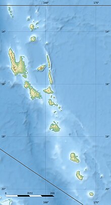
Paama Airport (IATA: PBJ, ICAO: NVSI) is an airport on Paama island, in the Malampa Province of Vanuatu.
References
[edit]- ^ Airport information for Paama Airport at Great Circle Mapper.
- ^ Airport information for Paama Airport at Transport Search website.

