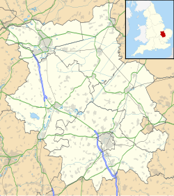
RAF Sibson
Appearance
| RAF Sibson | |||||||||
|---|---|---|---|---|---|---|---|---|---|
| Sibson, Cambridgeshire in England | |||||||||
| Coordinates | 52°32′53″N 0°23′13″W / 52.54806°N 0.38694°W | ||||||||
| Type | Royal Air Force Satellite Station | ||||||||
| Site information | |||||||||
| Owner | Air Ministry | ||||||||
| Operator | Royal Air Force | ||||||||
| Controlled by | RAF Flying Training Command | ||||||||
| Site history | |||||||||
| Built | 1940 | ||||||||
| In use | July 1940 - 1 October 1946 | ||||||||
| Battles/wars | European theatre of World War II | ||||||||
| Airfield information | |||||||||
| |||||||||
Royal Air Force Sibson or more simply RAF Sibson is a former Royal Air Force satellite station located in Sibson, Cambridgeshire, England, west of Peterborough.
The following units were here at some point:[1]
- No. 2 Central Flying School RAF
- No. 7 (Pilots) Advanced Flying Unit RAF
- No. 7 Service Flying Training School RAF
- No. 13 Elementary Flying Training School RAF
- No. 25 (Polish) Elementary Flying Training School RAF
- No. 2859 Squadron RAF Regiment
- No. 4183 Anti-Aircraft Flight RAF Regiment
References
[edit]- ^ "Sibson I". Airfields of Britain Conservation Trust. Retrieved 22 August 2022.


