Palace Cave
Appearance
| Palace Cave | |
|---|---|
| Gruta del Palacio | |
 Access to the Palace Cave | |
| Location | Trinidad, Flores Department |
| Coordinates | 33°16′34″S 57°08′00″W / 33.27611°S 57.13333°W |
| Discovery | 1877 |
| Geology | Late Cretaceous sandstone |
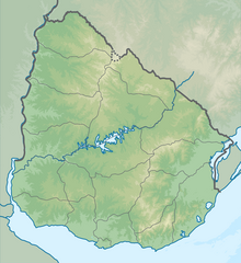
The Palace Cave (Spanish: Gruta del Palacio) is located at Flores Department, not far away from Trinidad, Uruguay.
History
[edit]The rocks in which the cave is formed date to the Late Cretaceous and is composed of sandstone, which ferrified during the Paleocene.
It was first studied in 1877; in the early 20th century, it was explored by Dr. Karl Walter.[1]
The cave has been subject of the creation of a geopark.[2] UNESCO is considering it as a possible World Heritage Site, due to its interest as a Geopark.[3][4]
The Palace Cave is featured in the coat of arms of Flores Department.
References
[edit]- ^ "Palace Cave". Uruguay.com. Retrieved 11 September 2013.
- ^ "Palace Cave, national pride". El País. 11 September 2012. (in Spanish)
- ^ UdelaR. "Geoparques: una alternativa para el desarrollo local". Retrieved 21 April 2012.
- ^ Grutas del Palacio y Pictografías de Chamangá a punto de ser reconocidas por UNESCO
External links
[edit]Wikimedia Commons has media related to Grutas del Palacio.

