Jump to content

Arawala

Coordinates: 12°23′N 23°17′E / 12.383°N 23.283°E / 12.383; 23.283
From Wikipedia, the free encyclopedia

This is the current revision of this page, as edited by Monkbot (talk | contribs) at 07:48, 5 November 2024 (Task 20: replace {lang-??} templates with {langx|??} ‹See Tfd› (Replaced 1);). The present address (URL) is a permanent link to this version.

(diff) ← Previous revision | Latest revision (diff) | Newer revision → (diff)
Arawala
أروالا
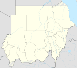
Arawala is located in Sudan
Arawala
Arawala
Location of Arawala
Coordinates: 12°22′57″N 23°17′41″E / 12.38250°N 23.29472°E / 12.38250; 23.29472
Country Sudan
StateWest Darfur
Time zoneUTC+2 (CAT)

Arawala (Arabic: أروالا) was a village in West Darfur, Sudan. It used to have a population of 7000 inhabitants; however, this changed after the village was attacked by Janjaweed militia.[1]

Notes

[edit]

12°23′N 23°17′E / 12.383°N 23.283°E / 12.383; 23.283