Ja'Aluni Airport
Appearance
Ja'Aluni Airport | |||||||||||
|---|---|---|---|---|---|---|---|---|---|---|---|
| Summary | |||||||||||
| Airport type | Public | ||||||||||
| Serves | Duqm, Oman | ||||||||||
| Elevation AMSL | 560 ft / 171 m | ||||||||||
| Coordinates | 19°28′50″N 57°18′40″E / 19.48056°N 57.31111°E | ||||||||||
| Map | |||||||||||
 | |||||||||||
| Runways | |||||||||||
| |||||||||||
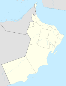
Ja'Aluni Airport (IATA: JNJ, ICAO: OOJA) is an airport serving Duqm, an Arabian Sea port in the Al Wusta Governorate of Oman.
The airport is in the desert 44 kilometres (27 mi) southwest of Duqm. The runway length does not include a 300 metres (980 ft) displaced threshold on Runway 21.
See also
[edit]References
[edit]External links
[edit]- OpenStreetMap - Ja'Aluni Airport
- HERE Maps - Ja'Aluni
- OurAirports - Ja'Aluni Airport
- Accident history for Duqm-Ja'Aluni Airport at Aviation Safety Network

