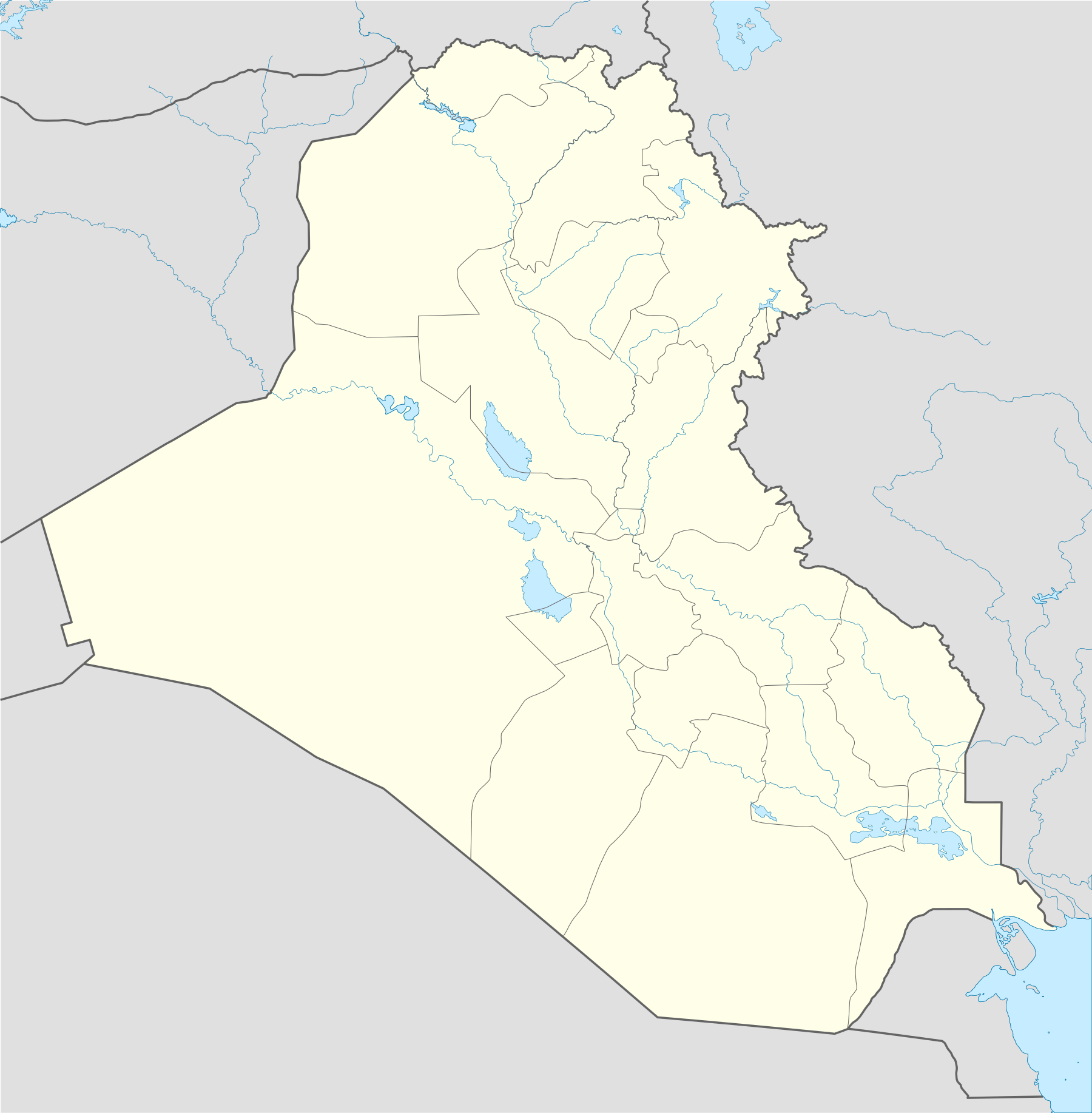
Template:Iraqi insurgency detailed map
Appearance
Hold cursor over location to display name; click to go to location row in the "table of cities and towns" (if available).
2 nested circles: inner controls, outer sieges // 3 nested circles: mixed control with stable situation // Small icons within large circle: situation in individual neighbourhoods/districts
 Under control of the Central Government
 Under control of the Islamic State of Iraq and the Levant and/or Sunni insurgents
 Under control of the Kurdistan Regional Government
 Under control of Qaraqosh Protection Committee
 Under control of Iraqi Turkmen militiamen
Contested
Other
 Military base
 Airport/Air base (jet)
 Airport/Air base (helicopter)
 Major port or naval base
 Border Post
 Dam
Dam Industrial complex
2 nested circles: inner controls, outer sieges // 3 nested circles: mixed control with stable situation // Small icons within large circle: situation in individual neighbourhoods/districts

