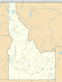
O. J. Daniels House
Appearance
O. J. Daniels House | |
| Nearest city | Jerome, Idaho |
|---|---|
| Coordinates | 42°39′16″N 114°31′4″W / 42.65444°N 114.51778°W |
| Area | 2 acres (0.81 ha) |
| Built | c. 1928 |
| MPS | Lava Rock Structures in South Central Idaho TR |
| NRHP reference No. | 83002325[1] |
| Added to NRHP | September 8, 1983 |
The O. J. Daniels House is a historic house located 4.75 miles (7.64 km) south of Jerome, Idaho. The lava rock house was constructed circa 1928 for farmer O. J. Daniels. While the home's craftsmanship resembles works by stonemason Marland Cox, its builder has not been determined. The home's vernacular design features symmetrical windows topped by flat rock arches, a stone lintel above the front door, and a gable roof.[2]
The house was added to the National Register of Historic Places on September 8, 1983.[1]
References
- ^ a b "National Register Information System". National Register of Historic Places. National Park Service. July 9, 2010.
- ^ "Inventory Sheet for Group Nominations: O. J. Daniels House" (PDF). Idaho State Historical Society. Retrieved December 30, 2013.


