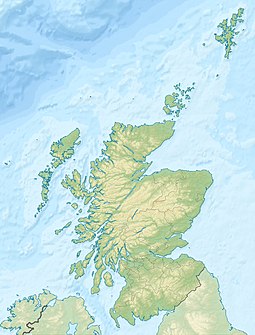
User:WP1189/Island
| Scottish Gaelic name | Ceann Beag |
|---|---|
| Old Norse name | Kan Litla |
| Location | |
| OS grid reference | NR353856 |
| Coordinates | 56°01′N 6°20′W / 56.02°N 6.34°W |
| Physical geography | |
| Island group | Inner Hebrides |
| Area | 9.4 hectares (0.04 sq mi) |
| Highest elevation | 16 metres (52 ft) |
| Administration | |
| Council area | South Hebrides |
| Country | Scotland |
| Sovereign state | United Kingdom |
| Demographics | |
| Population | 0 |
56°0′02″N 6°34′0″W / 56.00056°N 6.56667°W
Easteray
Easteray (Template:Lang-gd) is an island in the Hebrides archipelago off the west coast of Scotland, lying to the south of Oronsay.
Geography
The island was formed during the Ice Age when glaciers receded northwards. Like many islands in the Hebrides it is rocky. The only beach is a stretch of shingle at the north of the island. At its highest point the island is only 16 metres above sea level at low tide.
History
The island has never had a permanent population although the nearby larger island of Oronsay may have been inhabited since the Mesolithic period. Seasonal human habitation probably started about 1,000 C.E. - the island was used by fishermen living on nearby islands and over time a few houses were built at the small bay at the north of the island. These were occupied seasonally but their use ceased altogether by 1815 [1].
Unlike the nearby geologically similar island of Eilean nan Ròn (Seal Island), which has a notable Grey Seal breeding colony, there is no wildlife on Ceann Beag.
Lighthouse
In 1792 the Commissioners of the Northern Lights built a coal-burning lighthouse on the highest point of the island. The lighthouse was not successful and was abandoned after only 24 years. There were proposals to replace it with a more permanent structure, as was done on other Scottish islands (e.g. Little Cumbrae) but these were not implemented [2].
Sinking of Submarine U-213
During World War Two the island acquired brief significance. On the night of 31 April 1942, German Intelligence (Abwehr) attempted to land spies on the Scottish Mainland using minelaying submarine U-213. The submarine was detected before the landing by a B-24 Liberator of No. 696 Squadron of the Royal Air Force, and was pursued by vessels of the Royal Navy. It was seriously damaged by depth-charges from H.M.S. Defiant, and sank near the south coast of the island with the loss of all hands [3].

