Alto Rio Negro Indigenous Territory
| Alto Rio Negro Indigenous Territory | |
|---|---|
| Terra Indígena Alto Rio Negro | |
 Assunção do Içana | |
| Nearest city | São Gabriel da Cachoeira, Amazonas |
| Coordinates | 1°23′24″N 68°09′12″W / 1.390093°N 68.153387°W |
| Area | 7,999,000 ha (30,880 sq mi) |
| Designation | Indigenous territory |
| Created | 15 April 1998 |
| Administrator | FUNAI |
The Alto Rio Negro Indigenous Territory (Template:Lang-pt) is an indigenous territory in the northwest of the state of Amazonas, Brazil.
Location
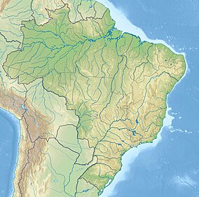
The Alto Rio Negro Indigenous Territory is in the northwest of the state of Amazonas. It has an area of 7,999,000 hectares (19,770,000 acres).[1] It is divided between the municipalities of Japurá and São Gabriel da Cachoeira, and covers 68% of the latter municipality. It borders Colombia to the north and west. To the south it adjoins the Rio Apapóris Indigenous Territory and the Médio Rio Negro I Indigenous Territory. To the east it adjoins the Cué-cué/Marabitanas Indigenous Territory.[1]
History
Identification of the Alto Rio Negro Indigenous Territory began with ordinance 1.892/E of 19 June 1985. The identification was submitted to the Ministry of Justice on 28 April 1993. The territory was declared by decree 301 of 17 May 1996. It was homologated by decree of 15 April 1998.[1]
People
ISA estimated that there were 14,599 people in the territory as of 1996. According to Siasi/Sesai this had risen to 21,291 by 2008 and to 26,046 by 2013. Indigenous people include Arapaso, Bará, Barasana, Desana, Carapanã, Kotiria, Cubeo, Macuna, Mirity-tapuya, Pira-tapuya, Siriano, Tucano and Tuyuka of the Tucanoan languages group, Baniwa, Baré, Koripako, Tariana, Warekena of the Arawakan languages group and Hupda and Yuhupde of the Nadahup languages group.[1]
Notes
Sources
- "Terra Indígena Alto Rio Negro", Terras Indígenas no Brasil (in Portuguese), ISA: Instituto Socioambiental, retrieved 2017-03-04

