Vahdat
Appearance
This article needs additional citations for verification. (December 2009) |
Vahdat | |
|---|---|
| Coordinates: 38°33′11″N 69°01′14″E / 38.55306°N 69.02056°E | |
| Country | |
| Province | Region of Republican Subordination |
| Government | |
| • Chairman of the town | Amirzoda Rahmonali Amir |
| Elevation | 870 m (2,850 ft) |
| Population | |
• Total | 45 693 |
| Time zone | +5 |
| Website | www |
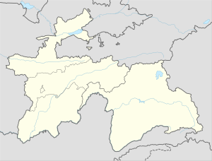
Vahdat (also Vakhdat, meaning unity in Persian) is a city in western Tajikistan, just 10 km east of Dushanbe. In the last century the city has been renamed several times. The city was known as Yangi-Bazar until 1936, when it was renamed Ordzhonikidzeabad in honor of Georgian communist Grigoriy Ordzhonikidze.[1] In 1992 after Tajikistan became independent the city was renamed Kofarnihon (Persian for "a place where unbelievers hide", کافرنهان) and in 2003 it was renamed Vahdat.
See also
References
- ^ Room, Adrian. Place-Name Changes Since 1900. London: Scarecrow Press, 1979.
38°33′11″N 69°01′11″E / 38.55306°N 69.01972°E

