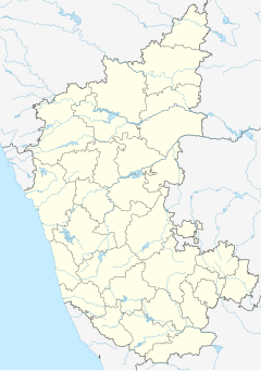
Thokur railway station
Appearance
Thokur | ||||||||||||||||
|---|---|---|---|---|---|---|---|---|---|---|---|---|---|---|---|---|
| Indian Railway Station | ||||||||||||||||
| General information | ||||||||||||||||
| Coordinates | 12°57′48″N 74°49′38″E / 12.9633544°N 74.8272132°E | |||||||||||||||
| Owned by | Konkan Railway | |||||||||||||||
| Line(s) | Konkan Railway | |||||||||||||||
| Construction | ||||||||||||||||
| Accessible | ||||||||||||||||
| Other information | ||||||||||||||||
| Station code | TOK | |||||||||||||||
| Fare zone | KAWR | |||||||||||||||
| Services | ||||||||||||||||
| ||||||||||||||||
| ||||||||||||||||
| ||||||||||||||||
Thokur railway station here is the last point southwards under the jurisdiction of Konkan Railway.[1]
The Thokur is a village near Pejavara near Mangalore district of Karnataka State of India. It is under Karwar railway region of Konkan Railway, a subsidiary Zone of Indian Railways.
It is located at 7 m above sea level and has one platform. As of 2016, single Broad Gauge railway line exist and at this station, 6 trains stops. Mangalore Airport, is at distance of 7 kilo meters.[2]
References
- ^ Sastry, Anil Kumar (1 July 2013). "'Include Mangalore region in Konkan Railway'". Bangalore. The Hindu. Retrieved 23 February 2014.
- ^ "Departures from TOK/Thokur (1 PFs)". Retrieved 27 January 2016.

