Cocorote Municipality
Appearance
Cocorote | |
|---|---|
 | |
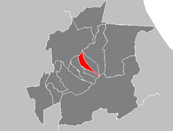
 Municipal location in Yaracuy | |
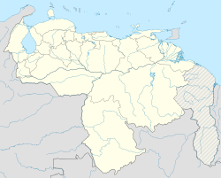
| Coordinates: 10°19′21″N 68°46′29″W / 10.32250°N 68.77472°W | |
| Country | |
| State | Yaracuy |
| Capital | Cocorote |
| Area | |
• Total | 135 km2 (52 sq mi) |
| Population (2001) | |
• Total | 35,668 |
| • Density | 264.21/km2 (684.3/sq mi) |
| Time zone | UTC-4:30 (Venezuela Standard Time) |
Cocorote is one of the 14 municipalities of the state of Yaracuy, Venezuela. The municipality is located in central Yaracuy, occupying an area of 135 km ² with a population of 35,668 inhabitants in 2001.[1] The capital lies at Cocorote.
The economy is based essentially on agriculture. However, the town has been experiencing rapid growth for twenty years with increased commercial services.

