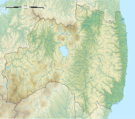
Mano Kofun Cluster
真野古墳群 | |
| Location | Minamisōma, Fukushima, Japan |
|---|---|
| Region | Tōhoku region |
| Coordinates | 37°41′49.7″N 140°57′7.2″E / 37.697139°N 140.952000°E |
| Altitude | 30 m (98 ft) |
| Type | kofun cluster |
| Site notes | |
| Ownership | National Historic Site |
| Public access | Yes |
Mano Kofun Cluster (真野古墳群, Mano Kofun-gun) is a group of a approximately one hundred kofun burial mounds located on river terraces on the south coast of the city of Minamisōma, in Fukushima Prefecture in the southern Tōhoku region of Japan. Some 27 of the tombs have been excavated. The site has been protected by the central government as a National Historic Site since October 24, 1979. [1]
The tombs extend over an area measuring three kilometers east-west by one kilometer north-south, and were formerly grouped into the Hachimori kofun cluster, Ōtani kofun cluster and Koikebara kofun cluster, but were made into a single grouping for the purposes of securing National Historic Site status. From the design of the kofun and the grave goods excavated, it is estimated that the site dates to the 5th to 6th centuries AD.
Most of the tombs are circular in design, with a diameter averaging ten meters, containing a stone sarcophagus in a central chamber. However, there are also two large circular tombs, as well as two large tombs with small keyhole-shaped extensions to the front and rear, the largest of which is No.20 with a diameter of 28.5 meters, which also has a moat. Grave goods included fragments of swords, horse trappings, and stone facsimiles of everyday objects such as axes, and sickles.


