Kilvington
Appearance
| Kilvington | |
|---|---|
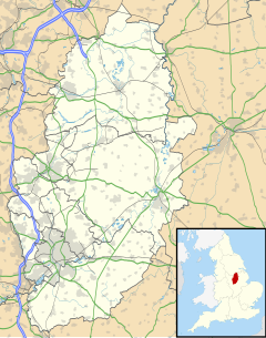
Location within Nottinghamshire | |
| District |
|
| Shire county | |
| Region | |
| Country | England |
| Sovereign state | United Kingdom |
| Post town | Nottingham |
| Postcode district | NG13 9 |
| Police | Nottinghamshire |
| Fire | Nottinghamshire |
| Ambulance | East Midlands |
Kilvington is a hamlet and civil parish in Nottinghamshire, England, part of the Newark and Sherwood district. It was enclosed about 1750.[1] It is combined with its neighbouring parish of Alverton to form an area for a parish meeting. Population information is included in the civil parish of Staunton.
References
- ^ Robert Thoroton (1797). History of Nottinghamshire, Volume 1. J. Throsby. p. 321.
External links
 Media related to Kilvington at Wikimedia Commons
- Alverton in the Domesday Book
- Alverton & Kilvington Parish Meeting

