Saloi
Appearance
Saloi | |
|---|---|
Villages & Union Council | |
| Coordinates: 32°44′42″N 73°05′44″E / 32.74500°N 73.09556°E | |
| Country | |
| Province | Punjab |
| District | Chakwal District |
| Tehsil | Choa Saidanshah |
| Villages in Union Council | 8 |
| Government | |
| • Type | Local Gov. |
| • Chairman UC | Mohammad Nazeer (PML-N) |
| Population | |
• Population | 2,800 |
| Time zone | UTC+5 (PST) |
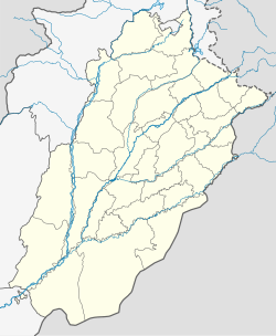
Saloi is a village, union council, and administrative subdivision of Chakwal District in the Punjab Province of Pakistan. It is part of Choa Saidan Shah Tehsil.[1]
Location
Saloi is located 35 km southeast of Chakwal, Pakistan. It has a total population of 2,800. It is located in between mountains.
It was founded by Mehmood Ghazni around a thousand years ago. The local language spoken in Saloi is Punjabi. The economy is based around agriculture.
Villages in union council
Golepur Union Councils is subdivided into 8 Villages.
- Chanyana
- Kandla
- Kussak
- Mohra
- Ratuchah
- Saloi
- Takwan
- Wahali
References


