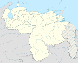
Machiques
Appearance
Machiques | |
|---|---|
Municipality | |
 Machiques shown within the state of Zulia | |
| Coordinates: 10°04′N 72°34′W / 10.067°N 72.567°W | |
| Country | |
| State | Zulia |
| Municipality | Machiques de Perijá |
| Founded | 8 November 1841 |
| Population (2010) | |
| • Urban | 63,000 (2,011)[1] |
| • Metro | 122,734 (2,011) |
| Time zone | UTC-04:00 (VST) |
| • Summer (DST) | UTC-04:00 (not observed) |
| Climate | Aw |
Machiques is a city in Zulia State, Venezuela, located in the northwest portion of the country. It is close to the border with Colombia, and the area's main economic activity is cattle raising. On 16 August 2005 West Caribbean Airways Flight 708, en route from Panama City to Fort-de-France, stalled and crashed in a mountainous area of the municipality, killing all 160 people on board.[2]
Transport
It is proposed that the city receive a railway station on the new national railway network.
See also
References
- ^ Machiques. Geonames.org. Retrieved 4 February 2019.
- ^ Hradecky, Simon (5 September 2010). "Report:West Caribbean MD82 at Machiquez on Aug 16th 2005, Did Not Recover from High Altitude Stall". The Aviation Herald. Retrieved 3 April 2012.


