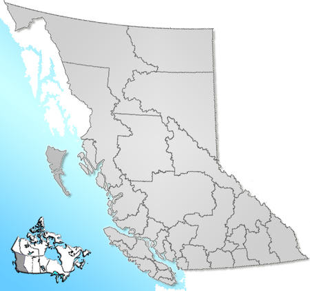
Template:British Columbia regional districts map
Appearance
Preview
{{British Columbia regional districts map|map=Census divisions BC.png}} or {{British Columbia regional districts map|}} produces:
Usage
Add {{British Columbia regional districts map|map=Census divisions BC.png}} in articles pertaining Regional districts of British Columbia.
The map parameter is optional, it can be changed with equal map images, the default is Census divisions BC.png.
A regional district map with linked labels will be rendered.

