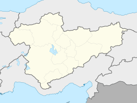
Çalta, Kahramankazan
Appearance
You can help expand this article with text translated from the corresponding article in Turkish. (July 2012) Click [show] for important translation instructions.
|
Çalta | |
|---|---|
| Coordinates: 40°14′50″N 32°32′44″E / 40.2472°N 32.5455°E | |
| Country | Turkey |
| Province | Ankara |
| District | Kahramankazan |
| Population (2022) | 78 |
| Time zone | UTC+3 (TRT) |
Çalta is a neighbourhood in the municipality and district of Kahramankazan, Ankara Province, Turkey.[1] Its population is 78 (2022).[2] In 2006 it passed from the Kızılcahamam District to the Kahramankazan District.[3]
References
- ^ Mahalle, Turkey Civil Administration Departments Inventory. Retrieved 22 May 2023.
- ^ "Address-based population registration system (ADNKS) results dated 31 December 2022, Favorite Reports" (XLS). TÜİK. Retrieved 22 May 2023.
- ^ Karar Sayısı : 2006/8000, Resmî Gazete, 7 April 2006.


