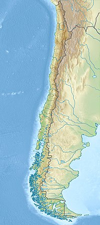
Cerro El Roble
Appearance
| Cerro El Roble | |
|---|---|
 | |
| Highest point | |
| Elevation | 2,222 m (7,290 ft) |
| Listing | List of mountains in Chile |
| Coordinates | 32°58′32″S 71°00′48″W / 32.97556°S 71.01333°W |
| Geography | |
| Location | Chile |
| Parent range | Chilean Coast Range |
Cerro El Roble is a mountain in central Chile. Much of the land area associated with this mountain was incorporated into the La Campana National Park[1] in the late 1990s. A station of the National Astronomical Observatory of Chile, Cerro El Roble Observatory is located at the top of this mountain.[2]
See also
References
Notes
Bibliography
- C. Michael Hogan. 2008. Chilean Wine Palm: Jubaea chilensis, GlobalTwitcher.com, ed. N. Stromberg
- Royal Astronomical Society. 1985. The Quarterly Journal of the Royal Astronomical Society, v.26, Published for the Royal Astronomical Society by Blackwell Science

