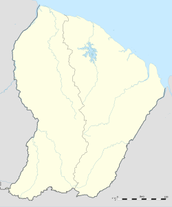
Cormotibo
Appearance
Cormotibo
Cormontibo, Kormotibo | |
|---|---|
Village | |
Cormotibo, along the western border with Suriname on the Maroni River. | |
| Coordinates: 3°47′42″N 54°07′02″W / 3.7951°N 54.1172°W | |
| Country | France |
| Overseas region | French Guiana |
| Arrondissement | Saint-Laurent-du-Maroni |
| Commune | Papaïchton |
| Elevation | 347 m (105 ft) |
| Time zone | UTC-3 |
Cormotibo (Cormontibo, Kormotibo)[1] is a village in western French Guiana, close to the border with Suriname, it is inhabited by Aluku Maroons. The village has been founded by Hervé Tolinga, the son of the granman.[2]
In 1943, the village was described as being in decline.[3] As of 2020, the village still exists near Papaichton.[4]
References
- ^ a b "Map, Weather, and Airports for Kormotibo, French Guiana". Retrieved 2007-04-29.
- ^ "Parcours La Source". Parc-Amazonien-Guyane (in French). Archived from the original on 31 December 2022. Retrieved 1 June 2020.
- ^ "Notes sur les Boni de la Guyane française page 128-129". Persée.fr. 1943. doi:10.3406/jsa.1943.2348. Retrieved 3 June 2020.
- ^ "Parcours la Source (Papaïchton) : Livret d'accompagnement". Parc Amazonien Guyane (in French). Retrieved 3 June 2020.

