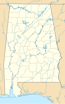
Fort Landrum
Appearance
| Fort Landrum | |
|---|---|
| Salitpa, Alabama in United States | |
| Coordinates | 31°40′04″N 87°54′42″W / 31.66778°N 87.91167°W |
| Type | Stockade fort |
| Site information | |
| Owner | Private |
| Controlled by | Private |
| Open to the public | No |
| Site history | |
| Built | 1813 |
| Built by | Mississippi Territory settlers |
| In use | 1813-1819 |
| Battles/wars | Creek War |
Fort Landrum was a stockade fort built in 1813 in present-day Clarke County, Alabama during the Creek War (part of the larger War of 1812). The fort was located eleven miles west of Fort Sinquefield.[1] Fort Landrum, like many other forts built around the same time, was built in response to Red Stick attacks on settlers in the surrounding area.[2]
Fort Landrum was built around the home of John Landrum, a veteran of the Revolutionary War who moved to the area in 1803 from Warren County, Georgia.[3]
In 1813, the fort became the site of the first courthouse in Clarke County. A courthouse remained here until 1819.[4]
A historical marker was erected in 1977 near the site of Fort Landrum by the Clarke County Historical Society.[4]
References
- ^ Halbert, Henry; Ball, Timothy (1895). The Creek War of 1813 and 1814. Chicago, Illinois: Donohue & Henneberry. p. 112. ISBN 9781375702775.
- ^ Harris, W. Stuart (1977). Dead Towns of Alabama. Tuscaloosa, Alabama: University of Alabama Press. p. 42. ISBN 0-8173-1125-4.
- ^ "Cathrena (Catherine) "Caty" Hill Landrum". Find A Grave. Retrieved 23 October 2021.
- ^ a b "Fort Landrum Site Historical Marker". The Historical Marker Database. Retrieved 23 October 2021.


