Itapacurá River
Appearance
| Itapacurá River | |
|---|---|
| Native name | Rio Itapacurá (Portuguese) |
| Location | |
| Country | Brazil |
| Physical characteristics | |
| Mouth | |
• coordinates | 4°23′32″S 56°05′02″W / 4.392236°S 56.083873°W |
| Basin features | |
| River system | Tapajós |
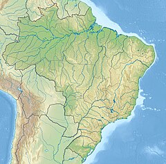
The Itapacurá River (Portuguese: Rio Itapacurá) is a river in the state of Pará, Brazil. It is a right tributary of the Tapajós, which it enters a few kilometres upstream from Miritituba, on the opposite bank from Itaituba.
The upper part of the river flows through the Trairão National Forest.[1]
References
- ^ Pedroza, Wellington Silva; Vasconcelos Ribeiro, Frank Raynner; Almeida, Fabiane Ferreira de (2010), "Ictiofauna da Porção Oeste da Floresta Nacional do Trairão – Bases para a Conservação e Manejo" (PDF), Anais do I Seminário Internacional de Ciências do Ambiente e Sustentabilidade na Amazônia, p. 7, retrieved 2016-05-19

