Luluwah
Appearance
Luluwah
لولوة | |
|---|---|
Village | |
 View of Luluwah from the Sanaa-Hudaydah road | |
| Coordinates: 15°23′25″N 44°04′39″E / 15.39026°N 44.07755°E[1] | |
| Country | |
| Governorate | Sanaa |
| District | Hamdan |
| Elevation | 8,058 ft (2,456 m) |
| Time zone | UTC+3 (Yemen Standard Time) |
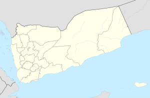
Luluwah (Arabic: لولوة), also Lu'lu'ah, is a village in Hamdan District of Sanaa Governorate, Yemen.[1][2] It is located in the upper reaches of the Wadi Zahr, below Rayʽan and above the beginning of the wadi proper at Suq Bayt Naʽam.[2] Surface water here forms a stream which flows into the Wadi Zahr at Suq Bayt Naʽam; this stream was historically known as the Ghayl Luluwah.[2]
History
Luluwah is mentioned several times in the Ghayat al-amani of Yahya ibn al-Husayn, with the first mention being in 859 (245 AH).[2] The same text also mentions a fort at Luluwah, although "it cannot have been a large one."[2]
References
- ^ a b c "Geonames.org. Lawlawah". Retrieved 1 March 2021.
- ^ a b c d e Wilson, Robert T.O. (1989). Gazetteer of Historical North-West Yemen. Germany: Georg Olms AG. pp. 288–9. Retrieved 1 March 2021.

