Oceola, Ohio
Appearance

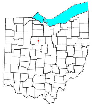
Oceola is a census-designated place (CDP) in central Tod Township, Crawford County, Ohio, United States.[1] As of the 2020 census its population was 156.[2] It has a post office with the ZIP code 44860.[3] It is located along the road that was U.S. Route 30 until being upgraded to a freeway.
History
Oceola was laid out in 1842.[4] The community was named for Osceola, the leader of the Seminole in Florida.[5] A post office called Oceola has been in operation since 1840.[6]
References
- ^ U.S. Geological Survey Geographic Names Information System: Oceola, Ohio
- ^ "Oceola CPD, Ohio - Census Bureau Profile". United States Census Bureau. Retrieved 11 June 2023.
- ^ USPS – Cities by ZIP Code
- ^ Overman, William Daniel (1958). Ohio Town Names. Akron, OH: Atlantic Press. p. 102.
- ^ History of Crawford County and Ohio. Baskin & Battey. 1881. pp. 617.
- ^ "Crawford County". Jim Forte Postal History. Retrieved 17 December 2015.

