Sarot
Appearance
Sarot | |
|---|---|
| Coordinates: 13°56′38″N 60°59′13″W / 13.94394°N 60.98689°W | |
| Country | Saint Lucia |
| District | Castries |
| Population (2010) | |
• Total | 690 |
| Sarot 2nd-order division of Castries District | |
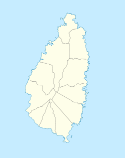
Sarot is a town in the Sarot second-order division of the Castries District of the island nation of Saint Lucia. The Sarot division has a population of 690. Sarot is located towards the heart of the island, between Vanard and bexon.[1][2]
See also
References
- ^ "Sarot, Populated Place". GeoNames. Retrieved August 13, 2021.
- ^ "Map of Castries" (PDF). Government of Saint Lucia. Retrieved August 13, 2021.

