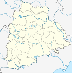
Shaligowraram
Appearance
Shaligowraram | |
|---|---|
| Nickname: Gouraram | |
| Coordinates: 17°17′54″N 79°23′18″E / 17.2982°N 79.3884°E | |
| Country | India |
| State | Telangana |
| District | Nalgonda |
| Named for | Shaligouraram Project |
| Area | |
• Total | 14.57 km2 (5.63 sq mi) |
| Population (2011)[1] | |
• Total | 5,214 |
| • Density | 360/km2 (930/sq mi) |
| Languages | |
| • Official | Telugu |
| Time zone | UTC+5:30 (IST) |
| PIN | 508210 |
| Vehicle registration | TS |
| Climate | hot (Köppen) |
| Website | telangana |
Shaligowraram is a village in Nalgonda district of the Indian state of Telangana. It is located in Shaligowraram mandal of Nalgonda division. It is the headquarters of Shaligouraram mandal.[1]
Government and politics
The major political parties are the Indian National Congress, Bharatiya Janata Party, Bharat Rashtra Samithi, and other left parties
References
- ^ a b c "District Census Handbook - Nalgonda" (PDF). Census of India. p. 13,212. Archived from the original (PDF) on 25 September 2015. Retrieved 8 February 2016.


