Shuragat
Appearance
Shuragat
Шурагат Шурагъа Шурагъат | |
|---|---|
Selo | |
| Coordinates: 41°59′N 47°50′E / 41.983°N 47.833°E[1] | |
| Country | Russia |
| Region | Republic of Dagestan |
| District | Kaytagsky District |
| Time zone | UTC+3:00 |
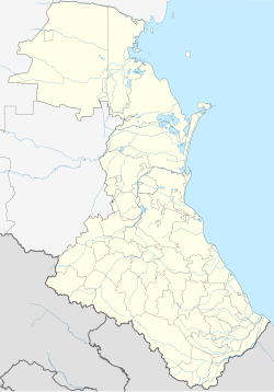
Shuragat (Russian: Шурагат; Kaitag: Шурагъа; Dargwa: Шурагъат) is a rural locality (a selo) in Kirtsiksky Selsoviet, Kaytagsky District, Republic of Dagestan, Russia. The population was 71 as of 2010.[2]
Geography
Shuragat is located 26 km south of Madzhalis (the district's administrative centre) by road. Varsit and Kirtsik are the nearest rural localities.[3]
Nationalities
Dargins live there.
References


