Silonga
Appearance
Silonga
Selonga | |
|---|---|
village | |
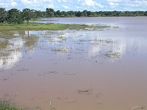
 Dam at Silonga, buildings of the village in the background | |
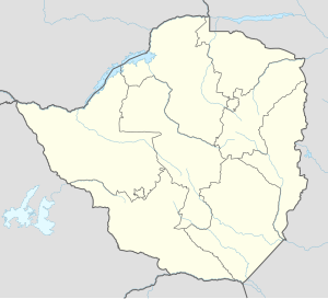
| Coordinates: 21°22′58″S 29°10′27″E / 21.38278°S 29.17417°E | |
| Country | |
| Province | Matabeleland South |
| District | Gwanda District |
| Time zone | UTC+2 (Central Africa Time) |
Silonga is a village in Gwanda District of Matabeleland South province in southern Zimbabwe.[1]
There are shops, a primary school, a secondary school,[2] a clinic,[3] and a dam with an irrigation scheme.[4]
Lutheran minister, United African National Council activist and later headmaster of Manama High School headmaster, Arote Vellah-Ncube was born in Silonga.[5]
References
- ^ Siambi, Moses (31 May 2010). Increased food security and income in the Limpopo Basin through integrated crop, water and soil fertility options and public-private partnerships. ICRISAT. p. 86. Retrieved 6 February 2024.
- ^ Madzinga, Victor (4 January 2023). "The first cut is the deepest the story of Morris Patrick Dube". The Chronicle (Zimbabwe). Retrieved 6 February 2024.
- ^ Dube-Matatu, Sukuluwenkosi (18 February 2023). "R1 500 to get to nearest clinic forces villagers to build their own/". The Chronicle (Zimbabwe). Retrieved 6 February 2024.
- ^ Ncube, S. "Consolidated PGIS Report for Zimbabwe" (PDF). COnnecting REpositories. Retrieved 6 February 2024.
- ^ "Former Manama head Rev Vellah-Ncube dies". Bulawayo 24 News. 7 March 2021. Retrieved 6 February 2024.

