Wachirathan Falls
Appearance
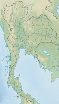
| Wachirathan Falls | |
|---|---|
| น้ำตกวชิรธาร | |
 Wachirathan waterfalls | |
 | |
| Location | Chom Thong, Chiang Mai, Thailand |
| Coordinates | 18°32′31″N 98°35′54″E / 18.5420°N 98.5983°E |
| Type | Segmented |
| Elevation | 80 m (260 ft) |
| Watercourse | Mae Klang River |
Wachirathan Falls (Thai: น้ำตกวชิรธาร lit. Diamond Creek Falls, also spelled Vachirathan) are waterfalls in the Chom Thong district in the province of Chiang Mai, Thailand.
Geography
Wachirathan (lit. Diamond Creek) flows down a granite escarpment on the way up to the summit of Doi Inthanon, the highest mountain in Thailand. Although segmented, its falls have a cumulative height of 80 m. It is one of several waterfalls in the area.
References

