Jump to content

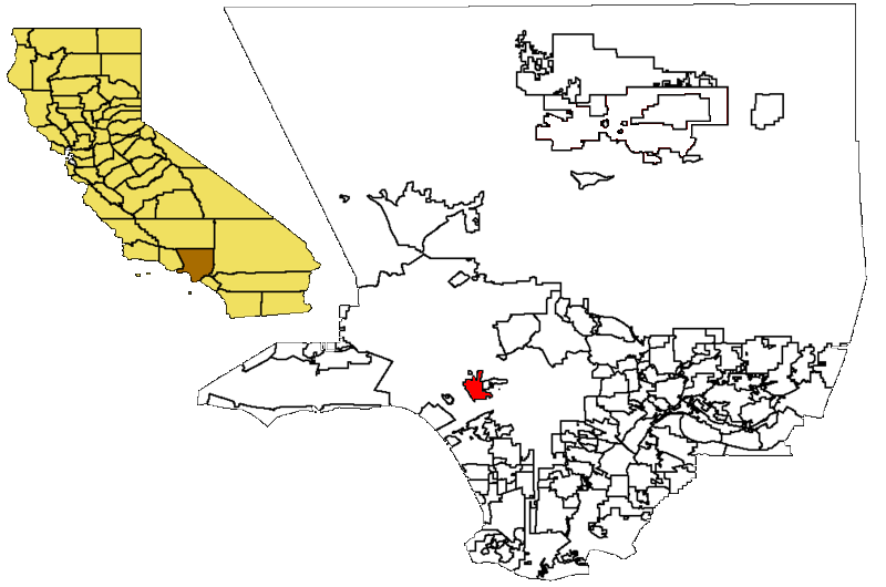
File:Beverly Hills in LA County map.png

Page contents not supported in other languages.
This is a file from the Wikimedia Commons
From Wikipedia, the free encyclopedia

Beverly_Hills_in_LA_County_map.png (800 × 530 pixels, file size: 109 KB, MIME type: image/png)

Location of Beverly Hills, CA in Los Angeles County. Modified from stock Wikipedia images.

Public domain This work has been released into the public domain by its author, Bumm13. This applies worldwide.

In some countries this may not be legally possible; if so:
Bumm13 grants anyone the right to use this work for any purpose, without any conditions, unless such conditions are required by law.

Captions

Add a one-line explanation of what this file represents

Items portrayed in this file

depicts

image/png

70cf5085283321b7938193bb37ce36d6d5d357c8

111,972 byte

530 pixel

800 pixel

File history

Click on a date/time to view the file as it appeared at that time.

Date/TimeThumbnailDimensionsUserComment
current00:50, 10 February 2007Thumbnail for version as of 00:50, 10 February 2007800 × 530 (109 KB)Mazinkerخريطة لمدينة بيفرلي هيلز
08:35, 17 September 2006Thumbnail for version as of 08:35, 17 September 2006800 × 530 (109 KB)C41nLocation of Beverly Hills, CA in Los Angeles County. Modified from stock Wikipedia images. Author: en:User:Bumm13 {{PD}}
No pages on the English Wikipedia use this file (pages on other projects are not listed).