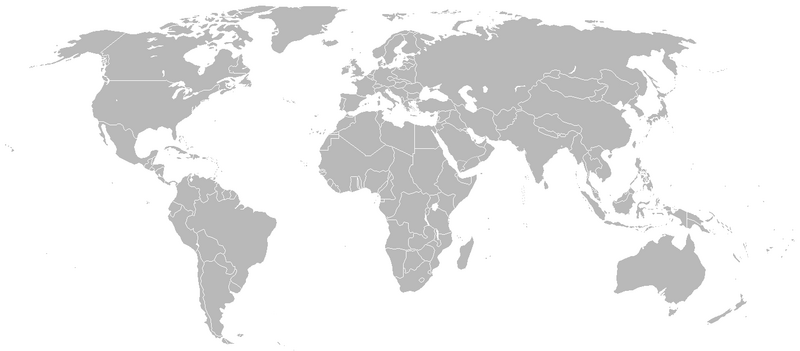
File:BlankMap-World-1938.png
Appearance

Size of this preview: 800 × 351 pixels. Other resolutions: 320 × 140 pixels | 640 × 281 pixels | 1,425 × 625 pixels.
Original file (1,425 × 625 pixels, file size: 48 KB, MIME type: image/png)
File history
Click on a date/time to view the file as it appeared at that time.
| Date/Time | Thumbnail | Dimensions | User | Comment | |
|---|---|---|---|---|---|
| current | 00:34, 26 April 2020 |  | 1,425 × 625 (48 KB) | The- | Reverted to version as of 17:11, 19 March 2011 (UTC) The new map showed some incorrect national bounaries (e.g.Finland/USSR) |
| 03:20, 11 October 2017 |  | 1,500 × 740 (101 KB) | Expertseeker90 | Major overhall. Correct internal and national boundaries of the time period added and corrected. | |
| 17:11, 19 March 2011 |  | 1,425 × 625 (48 KB) | R-41~commonswiki | Adjusted Libyan border for the time period, it had a section of Chad at that time | |
| 15:30, 1 July 2009 |  | 1,425 × 625 (48 KB) | Rülpsmann | Added Border between Japan and USSR | |
| 22:52, 1 November 2007 |  | 1,425 × 625 (30 KB) | R-41~commonswiki | {{Information |Description=Map of the world in September 1938. |Source=self-made |Date=November 1, 2007 |Author= R-41 }} | |
| 22:51, 1 November 2007 |  | 1,425 × 625 (30 KB) | R-41~commonswiki | {{Information |Description=Map of the world in September 1938. |Source=self-made |Date=November 1, 2007 |Author= R-41 }} |
File usage
No pages on the English Wikipedia use this file (pages on other projects are not listed).
Global file usage
The following other wikis use this file:
- Usage on ca.wikipedia.org
- Usage on fr.wikipedia.org
- Usage on nl.wikipedia.org


