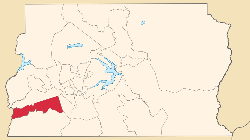
File:Distrito Federal RA RecantodasEmas.svg
Appearance

Size of this PNG preview of this SVG file: 800 × 448 pixels. Other resolutions: 320 × 179 pixels | 640 × 358 pixels | 1,024 × 573 pixels | 1,280 × 716 pixels | 2,560 × 1,432 pixels | 974 × 545 pixels.
Original file (SVG file, nominally 974 × 545 pixels, file size: 1.77 MB)
File history
Click on a date/time to view the file as it appeared at that time.
| Date/Time | Thumbnail | Dimensions | User | Comment | |
|---|---|---|---|---|---|
| current | 16:19, 5 April 2020 |  | 974 × 545 (1.77 MB) | Furious97 | erro no arquivo anterior |
| 16:16, 5 April 2020 |  | 974 × 545 (1.77 MB) | Furious97 | Corrigindo cores. | |
| 05:26, 5 April 2020 |  | 974 × 545 (1.77 MB) | Furious97 | Atualizado conforme a Lei Complementar nº 958/2019 (Distrito Federal), que redefiniu os limites territoriais das regiões administrativas. | |
| 23:22, 3 January 2019 |  | 974 × 545 (238 KB) | Allice Hunter | Atualização | |
| 14:35, 4 June 2007 |  | 1,130 × 550 (2.18 MB) | Srfortes | {{User:Raphael.lorenzeto/DerivativeMaps}} {{Information| |Description='''English:''' Map locator of the administrative region of Recanto das Emas in the Federal District, Brazil.<br> '''Português:''' Mapa de localização da região administrativa do Rec |
File usage
The following page uses this file:
Global file usage
The following other wikis use this file:
- Usage on de.wikipedia.org
- Usage on eo.wikipedia.org
- Usage on it.wikipedia.org
- Usage on pt.wikipedia.org
- Usage on www.wikidata.org


