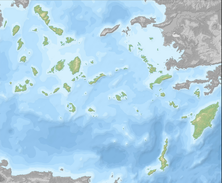
File:Greece (ancient) SouthAegean (relief-cropped).png
Appearance

Size of this preview: 728 × 599 pixels. Other resolutions: 292 × 240 pixels | 583 × 480 pixels | 933 × 768 pixels | 1,024 × 843 pixels.
Original file (1,024 × 843 pixels, file size: 710 KB, MIME type: image/png)
File history
Click on a date/time to view the file as it appeared at that time.
| Date/Time | Thumbnail | Dimensions | User | Comment | |
|---|---|---|---|---|---|
| current | 07:42, 28 February 2014 |  | 1,024 × 843 (710 KB) | Fulvio314 | == {{int:filedesc}} == {{Information |Description={{it|1=Mappa di localizzazione delle antiche regioni greche. Egeo meridionale.}} |Source={{Derived from|Greece_large_topographic_basemap.svg|display=50}} |Date=2014-02-28 07:24 (UTC) |Author=*[[:File:Gr... |
File usage
The following page uses this file:
Global file usage
The following other wikis use this file:
- Usage on cv.wikipedia.org
- Usage on es.wikipedia.org
- Usage on it.wikipedia.org
- Usage on os.wikipedia.org
- Usage on ru.wikipedia.org
- Родос
- Киклады
- Фолегандрос
- Патмос
- Малые Киклады
- Тира (остров)
- Кос
- Дилос
- Кастелоризон
- Южные Спорады
- Милос
- Тинос
- Андрос (остров, Греция)
- Парос
- Карпатос
- Сирос
- Сифнос
- Серифос
- Китнос
- Кея
- Иос
- Липси (остров)
- Тилос
- Сикинос
- Аморгос
- Сими
- Миконос
- Калимнос
- Агатонисион
- Касос
- Лерос
- Нисирос
- Псеримос
- Анафи
- Кимолос
- Андипарос
- Схинуса
- Донуса
- Ираклия (остров)
View more global usage of this file.
