File:Lakenasser oli 2013-2020 lrg.jpeg
Appearance

Size of this preview: 794 × 600 pixels. Other resolutions: 318 × 240 pixels | 636 × 480 pixels | 1,017 × 768 pixels | 1,280 × 967 pixels | 2,560 × 1,933 pixels | 7,540 × 5,694 pixels.
Original file (7,540 × 5,694 pixels, file size: 5.12 MB, MIME type: image/jpeg)
File history
Click on a date/time to view the file as it appeared at that time.
| Date/Time | Thumbnail | Dimensions | User | Comment | |
|---|---|---|---|---|---|
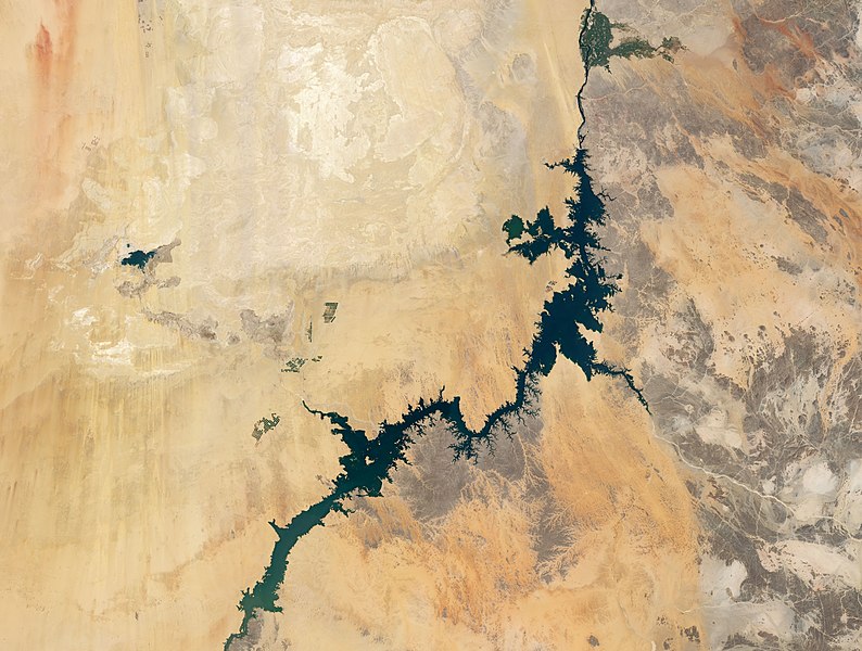
| current | 02:20, 26 May 2021 |  | 7,540 × 5,694 (5.12 MB) | StellarHalo | {{Information |Description=The Operational Land Imager (OLI) on Landsat 8 acquired the data for this natural-color image of Lake Nasser (the Sudanese call their portion Lake Nubia). This composite scene was compiled from cloud-free images from 2013 to 2020. Located in a hot, dry climate with sporadic rain events, the lake loses a lot of water through evaporation and consequently shrinks seasonally in surface area. Water levels are typically highest in November during the flood season and lowe... |
File usage
The following 3 pages use this file:
Global file usage
The following other wikis use this file:
- Usage on fr.wikipedia.org
- Usage on ha.wikipedia.org
- Usage on ig.wikipedia.org
- Usage on my.wikipedia.org


