File:Maps20 001.jpg
Appearance

Size of this preview: 750 × 600 pixels. Other resolutions: 300 × 240 pixels | 601 × 480 pixels | 961 × 768 pixels | 1,280 × 1,023 pixels | 2,560 × 2,047 pixels | 3,096 × 2,475 pixels.
Original file (3,096 × 2,475 pixels, file size: 3.35 MB, MIME type: image/jpeg)
File history
Click on a date/time to view the file as it appeared at that time.
| Date/Time | Thumbnail | Dimensions | User | Comment | |
|---|---|---|---|---|---|
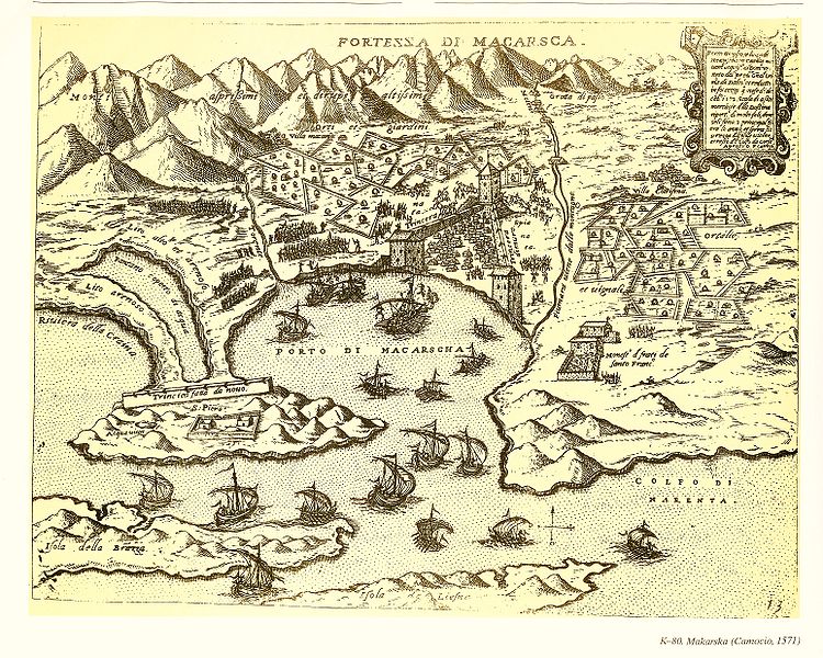
| current | 14:43, 26 February 2010 |  | 3,096 × 2,475 (3.35 MB) | Krenakarore | {{Information |Description= Map engraving of Makarska in 1571 by cartographer Camocio. |Source= Atlas Karografski spomenici Hrvatskoga Jadrana, Mithad Koyličič, p. 126. |Date= 1571 |Author= Camocio |Permission= Public domain image |other_versions= }} [ |
File usage
The following page uses this file:
Global file usage
The following other wikis use this file:
