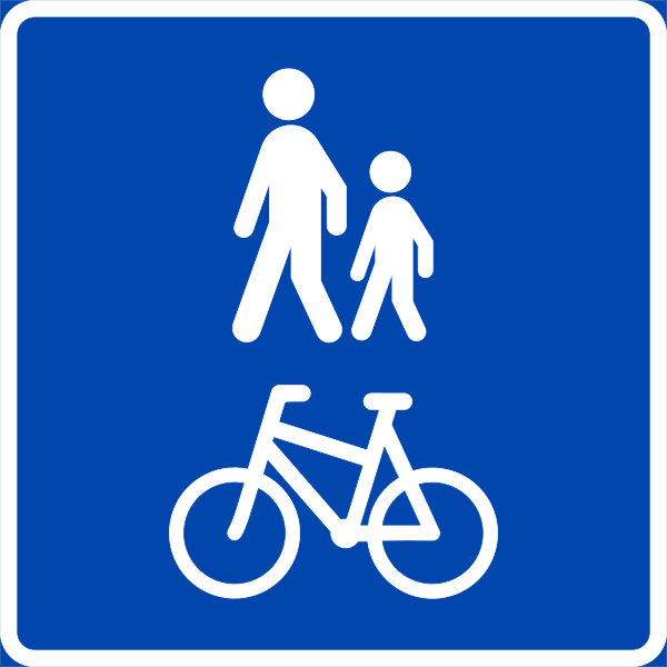
File:NO road sign 522.svg
Appearance

Size of this PNG preview of this SVG file: 600 × 600 pixels. Other resolutions: 240 × 240 pixels | 480 × 480 pixels | 768 × 768 pixels | 1,024 × 1,024 pixels | 2,048 × 2,048 pixels | 744 × 744 pixels.
Original file (SVG file, nominally 744 × 744 pixels, file size: 16 KB)
File history
Click on a date/time to view the file as it appeared at that time.
| Date/Time | Thumbnail | Dimensions | User | Comment | |
|---|---|---|---|---|---|
| current | 15:17, 4 August 2008 |  | 744 × 744 (16 KB) | Pjacklam | Changed colours to the RGB values that Photoshop suggest for the original Pantone colours. |
| 17:26, 10 July 2008 |  | 744 × 744 (16 KB) | Pjacklam | {{Information |Description={{en|1=Norwegian road sign 522.0.}} |Source=EPS file downloaded from the Norwegian Public Roads Administration (Statens vegvesen) website: http://www. |
File usage
The following 3 pages use this file:
Global file usage
The following other wikis use this file:
- Usage on de.wikipedia.org
- Usage on fr.wikipedia.org
- Usage on it.wikipedia.org
- Usage on it.wikibooks.org
- Usage on nn.wikipedia.org
- Mal:Riksveg
- Mal:Transportmal
- Mal:Stamveg
- Mal:Europaveg
- Mal:Riksväg
- Mal:Primær vej
- Mal:Ferje
- Mal:Tunnel
- Mal:Avgift
- Mal:Stenging
- Mal:Info
- Mal:Attraksjon
- Mal:Lufthamn
- Mal:Motorveg-start
- Mal:Motorveg-slutt
- Mal:Motortrafikkveg-start
- Mal:Motortrafikkveg-slutt
- Mal:Motorveg-S-start
- Mal:Motorveg-S-slutt
- Mal:Vegkryss-tofeltsveg
- Mal:Vegkryss-fleirfeltsveg
- Mal:Veg under bygging
- Mal:Riksgrense
- Mal:Rundkøyring
- Mal:Motortrafikkveg-S-start
- Mal:Motortrafikkveg-S-slutt
- Mal:Valtatie
- Mal:Kantatie
- Mal:Seututie
- Mal:Yhdystie
- Mal:Bru
- Mal:Planovergang
- Mal:Turistkontor
- Mal:Vegbilete
- Mal:Riksgrense2
- Mal:Lyskryss
- Dyrhaugen i Bergen
- Skjoldstølen
- Mal:Gang- og sykkelveg
- Mårdalen
- Slåtthaugvegen
- Tranevegen i Bergen
- Nedre Smøråsflaten
- Nedre Smøråsvegen
View more global usage of this file.

