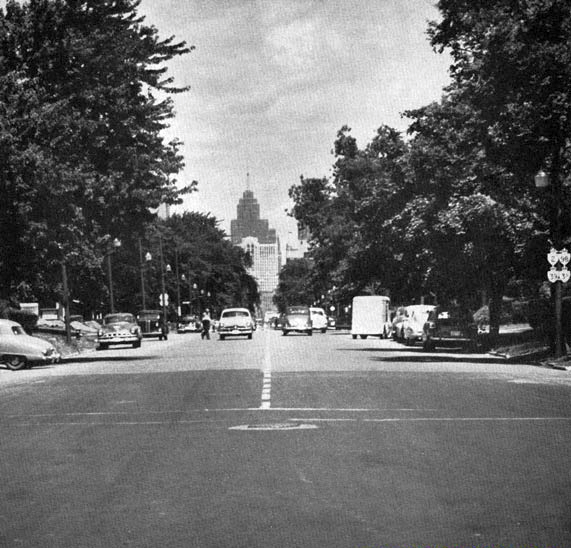
File:Ouellette Avenue 1951, Windsor, Ontario.png
Appearance
Ouellette_Avenue_1951,_Windsor,_Ontario.png (571 × 548 pixels, file size: 364 KB, MIME type: image/png)
File history
Click on a date/time to view the file as it appeared at that time.
| Date/Time | Thumbnail | Dimensions | User | Comment | |
|---|---|---|---|---|---|
| current | 01:28, 10 January 2021 |  | 571 × 548 (364 KB) | Floydian | == Summary == {{Information | description = Ouellette Avenue in Windsor, Ontario, facing west towards downtown. The reassurance markers on the right are for Highway 2, Highway 3B, Highway 39, and Highway 98. | source = Annual Report for the year ending March 31, 1952.[https://www.thekingshighway.ca/PHOTOS/Hwy98photos.htm] | date = July 10, 1951 | author = Ontario Department of Highw... |
File usage
The following 2 pages use this file:


