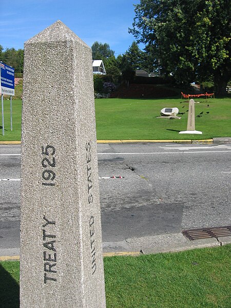
File:Peacearch-boundarymarkers.jpg
Appearance

Size of this preview: 450 × 600 pixels. Other resolutions: 180 × 240 pixels | 360 × 480 pixels | 576 × 768 pixels | 768 × 1,024 pixels | 1,704 × 2,272 pixels.
Original file (1,704 × 2,272 pixels, file size: 2.1 MB, MIME type: image/jpeg)
File history
Click on a date/time to view the file as it appeared at that time.
| Date/Time | Thumbnail | Dimensions | User | Comment | |
|---|---|---|---|---|---|
| current | 03:31, 29 August 2006 |  | 1,704 × 2,272 (2.1 MB) | Buchanan-Hermit~commonswiki | {{subst:Information |Description=The international boundary markers (the two columns at each side of the road) at Peace Arch Park. Surrey, BC, Canada/Blaine, Washington, USA. |Source=Own work |Date=28 August 2006 |Author=Arnold C |Permission={{pd-user|Buc |
File usage
The following 3 pages use this file:
Global file usage
The following other wikis use this file:
- Usage on de.wikipedia.org
- Usage on de.wikivoyage.org
- Usage on eo.wikipedia.org
- Usage on he.wikipedia.org
- Usage on ja.wikipedia.org
- Usage on uk.wikipedia.org

