Jump to content

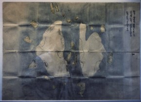
File:The oldest maps of Liancourt Rocks.jpg

Page contents not supported in other languages.
This is a file from the Wikimedia Commons
From Wikipedia, the free encyclopedia

The_oldest_maps_of_Liancourt_Rocks.jpg (290 × 209 pixels, file size: 40 KB, MIME type: image/jpeg)

Summary

Description
日本語: 『松嶋絵図』(1656年頃)「松島之絵図島之惣廻リ壱里之内 隠岐国より松島江之渡海道範百里余 松島より竹島江道範三十里余」の記載がある。松嶋(現在の島根県竹島、Liancourt Rocks)最古の地図
Date
Source 米子市立山陰歴史館(San-in Historical Museum of Yonago City), 鳥取県 (Tottori Prefcture)
Author 未詳(鳥取県米子市村川家伝世・原所蔵)

Licensing

Public domain

This work is in the public domain in its country of origin and other countries and areas where the copyright term is the author's life plus 70 years or fewer.


You must also include a United States public domain tag to indicate why this work is in the public domain in the United States.
This file has been identified as being free of known restrictions under copyright law, including all related and neighboring rights.

Captions

Add a one-line explanation of what this file represents

Items portrayed in this file

depicts

File history

Click on a date/time to view the file as it appeared at that time.

Date/TimeThumbnailDimensionsUserComment
current23:18, 31 May 2017Thumbnail for version as of 23:18, 31 May 2017290 × 209 (40 KB)Greenland4User created page with UploadWizard

The following page uses this file:

Global file usage

The following other wikis use this file:

Metadata