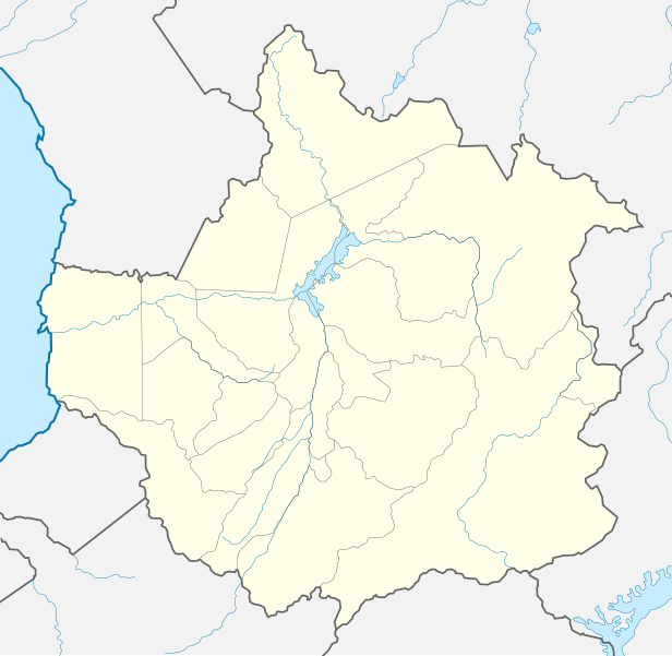
File:Venezuela Trujillo location map.svg
Appearance

Size of this PNG preview of this SVG file: 616 × 600 pixels. Other resolutions: 246 × 240 pixels | 493 × 480 pixels | 789 × 768 pixels | 1,052 × 1,024 pixels | 2,103 × 2,048 pixels | 725 × 706 pixels.
Original file (SVG file, nominally 725 × 706 pixels, file size: 372 KB)
File history
Click on a date/time to view the file as it appeared at that time.
| Date/Time | Thumbnail | Dimensions | User | Comment | |
|---|---|---|---|---|---|
| current | 05:39, 15 August 2017 |  | 725 × 706 (372 KB) | Milenioscuro | capas |
| 16:13, 18 August 2015 |  | 725 × 706 (365 KB) | Milenioscuro | User created page with UploadWizard |
File usage
The following page uses this file:
Global file usage
The following other wikis use this file:
- Usage on de.wikipedia.org
- Usage on eo.wikipedia.org
- Usage on es.wikipedia.org
- Valera
- Mendoza del Valle del Momboy
- Boconó
- Santa Ana de Trujillo
- Escuque
- Pampán
- El Dividive (Trujillo)
- Santa Apolonia (Venezuela)
- La Ceiba (Trujillo)
- Santa Isabel (Venezuela)
- Motatán
- Betijoque
- Trujillo (Venezuela)
- Wikiproyecto:Ilustración/Taller de Cartografía/Realizaciones/América del Sur
- Cuicas
- Isnotú
- Burbusay
- Plantilla:Mapa de localización de Trujillo
- Sabana de Mendoza
- Chejendé
