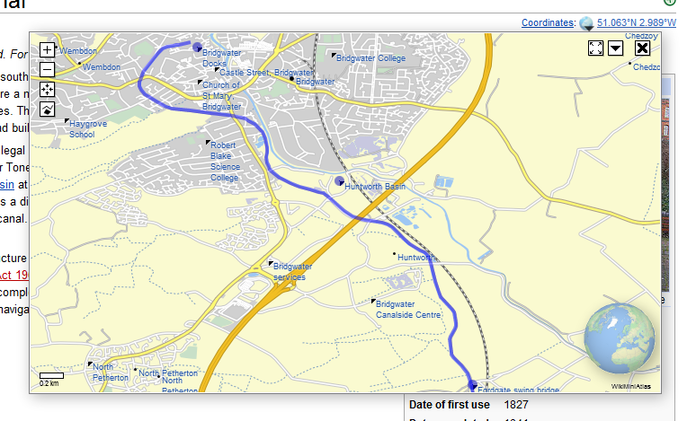
File:WikiMiniAtlas KML screenshot.png
Appearance
WikiMiniAtlas_KML_screenshot.png (764 × 469 pixels, file size: 264 KB, MIME type: image/png)
File history
Click on a date/time to view the file as it appeared at that time.
| Date/Time | Thumbnail | Dimensions | User | Comment | |
|---|---|---|---|---|---|
| current | 15:55, 12 April 2012 |  | 764 × 469 (264 KB) | Dschwen | new vesion with 3d WebGL globe and dropshadow |
| 22:07, 12 February 2012 |  | 743 × 426 (240 KB) | Dschwen | == {{int:filedesc}} == {{Information |Description= Screenshot of the WikiMiniAtlas javascript extension for Wikipedia by User:Dschwen displaying the KML data attached to teh en:Bridgwater and Taunton Canal article (blue line) and the Coordinate p |
File usage
The following 4 pages use this file:
Global file usage
The following other wikis use this file:
- Usage on dag.wikipedia.org
- Usage on de.wikipedia.org
- Usage on dv.wikipedia.org
- Usage on id.wikipedia.org
- Usage on pnb.wikipedia.org
- Usage on simple.wikipedia.org
- Usage on si.wikipedia.org
- Usage on tg.wikipedia.org
- Usage on wikimania2012.wikimedia.org

