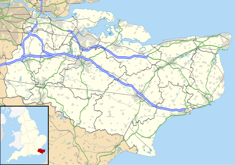
Archivo:Kent UK location map.svg
Apariencia

Tamaño de esta previsualización PNG del archivo SVG: 800 × 561 píxeles. Otras resoluciones: 320 × 225 píxeles · 640 × 449 píxeles · 1024 × 719 píxeles · 1280 × 898 píxeles · 2560 × 1796 píxeles · 1425 × 1000 píxeles.
Ver la imagen en su resolución original ((Imagen SVG, nominalmente 1425 × 1000 pixels, tamaño de archivo: 2,11 MB))
Historial del archivo
Haz clic sobre una fecha y hora para ver el archivo tal como apareció en ese momento.
| Fecha y hora | Miniatura | Dimensiones | Usuario | Comentario | |
|---|---|---|---|---|---|
| actual | 18:58 26 sep 2010 |  | 1425 × 1000 (2,11 MB) | Nilfanion | {{Information |Description=Map of Kent, UK with the following information shown: *Administrative borders *Coastline, lakes and rivers *Roads and railways *Urban areas Equirectangular map projection on WGS 84 datum, with N/S stretched 160% Geo |
Usos del archivo
Hay más de 100 páginas que enlazan con este archivo.
La lista siguiente sólo muestra las primeras 100 páginas que enlazan con este archivo. También puedes consultar la lista completa.
- Acol (Kent)
- Addington (Kent)
- Ashford (Kent)
- Bapchild
- Bean (Kent)
- Benenden
- Bidborough
- Birchington
- Birling
- Bobbing
- Borden (Kent)
- Borough Green
- Boughton under Blean
- Bredgar
- Brenchley
- Broadstairs and St. Peters
- Burham
- Canterbury
- Capel (Kent)
- Cranbrook (Kent)
- Darenth
- Dartford
- Ditton
- Doddington (Kent)
- Dunkirk (Kent)
- East Malling and Larkfield
- East Peckham
- Eastchurch
- Eastling
- Faversham
- Frittenden
- Goudhurst
- Graveney with Goodnestone
- Hadlow
- Hartlip
- Hawkhurst
- Hernhill
- Higham (Kent)
- Hildenborough
- Horsmonden
- Ightham
- Iwade (Kent)
- Kings Hill
- Lamberhurst
- Leaveland
- Leybourne
- Leysdown
- Longfield and New Barn
- Lower Halstow
- Luddenham
- Luddesdown
- Lydd
- Lynsted
- Maidstone
- Manston (Kent)
- Margate
- Mereworth
- Milstead
- Minster-on-Sea
- Minster (Thanet)
- Monkton (Kent)
- New Romney
- Newington (Swale)
- Newnham (Kent)
- Oare (Kent)
- Offham
- Old Romney
- Paddock Wood
- Pembury
- Platt (Kent)
- Plaxtol
- Queenborough
- Rodmersham
- Ryarsh
- Sandhurst (Kent)
- Sarre (Kent)
- Selling
- Sheldwich
- Shipbourne
- Shorne
- Snodland
- Southborough (Kent)
- Southfleet
- Speldhurst
- St. Nicholas at Wade
- Stalisfield
- Stone (Kent)
- Sutton-at-Hone and Hawley
- Swanscombe and Greenhithe
- Teynham
- Trottiscliffe
- Tunstall (Kent)
- Upchurch
- Vigo (Kent)
- Warden (Kent)
- Wateringbury
- West Kingsdown
- West Malling
- West Peckham
- Wilmington (Kent)
Ver más enlaces a este archivo.
Uso global del archivo
Las wikis siguientes utilizan este archivo:
- Uso en ar.wikipedia.org
- Uso en bg.wikipedia.org
- Uso en br.wikipedia.org
- Uso en ca.wikipedia.org
- Uso en ceb.wikipedia.org
- Uso en cs.wikipedia.org
- Uso en cy.wikipedia.org
- Uso en el.wikipedia.org
- Uso en en.wikipedia.org
- Lullingstone Roman Villa
- Dover
- Canterbury
- Chatham, Kent
- Dartford Crossing
- Hever Castle
- Leeds Castle
- Sandwich, Kent
- Folkestone
- Minster-in-Thanet
- Aylesford
- Maidstone
- Rochester, Kent
- Snodland
- Romney Marsh
- Dover Castle
- Walmer Castle
- Walmer
- Wye, Kent
- Isle of Sheppey
- Bedgebury National Pinetum
- Gravesend
- Eythorne
- Ramsgate
- Herne Bay
- Sevenoaks
- Tonbridge
- Stansted, Kent
- Royal Tunbridge Wells
- Ashford, Kent
- Broadstairs
- Hythe, Kent
- Queenborough
- New Romney
- Whitstable
- Otford
- Paddock Wood
- Knole
Ver más uso global de este archivo.
